The name Dural is derived from ‘Dooral Dooral’, an aboriginal name meaning ‘hollow tree on fire at the bottom and smoking at the top’.
Dural was once covered by a dense tall forest and was inhabited by the Darug people. The fertile soil of the area is still one of its most alluring characteristics, expressed through the suburbs many ornamental gardens, beautiful trees and rural charm.
When Governor King declared the 34,539 acres (about 14,000 hectares) of the convict farm at Castle Hill and to the north as Crown Land, timber was cut from the forest and used to service the growing needs of Sydney.
The first land grants were given to 30 settlers, including 600 acres to George Hall in 1819. Other settlers followed and the rich soil, derived from Wianamatta shale, proved ideal for growing crops and later citrus. In 1825 a route was chosen to connect the Castle Hill region to Maitland and Singleton, at that time called Patrick’s Plains.
It was to go through Dural and cross the Hawkesbury River at Portland Head, now Wisemans Ferry. ‘The Great North Road’ became one of the major road engineering feats of the time.
In 1831 Thomas Best established the Half-Way Inn at Middle Dural. Other pioneers of this time were the Fagan, Waddell, Moulds, Hunt and Roughly families – many of their descendants still live in the region today.
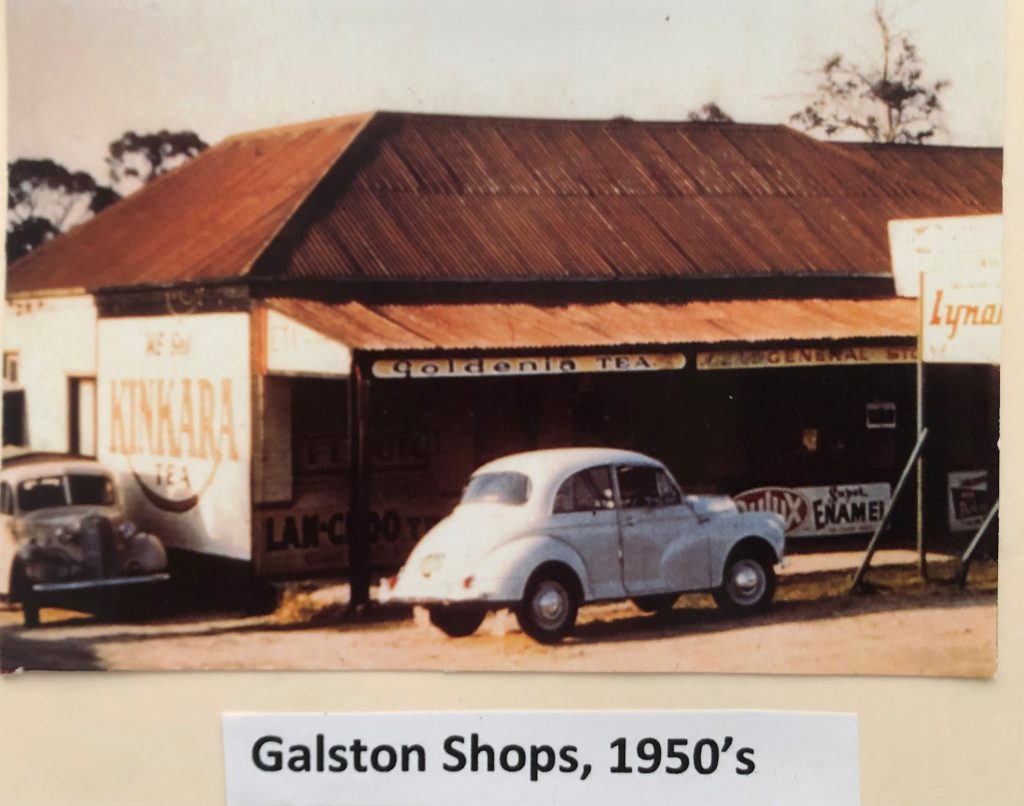
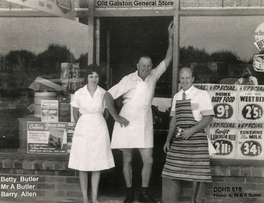
By 1870 there were dozens of citrus orchards, which drew a large number of workers to the area. As the population increased, schools were built, localities developed and the original names of some of the settlements began to change. Upper Dural became Glenorie in 1887; North Colah became Galston in 1886; Upper Galston or Galston Heights became Arcadia in 1894 and Little Dural became Kenthurst in 1886.
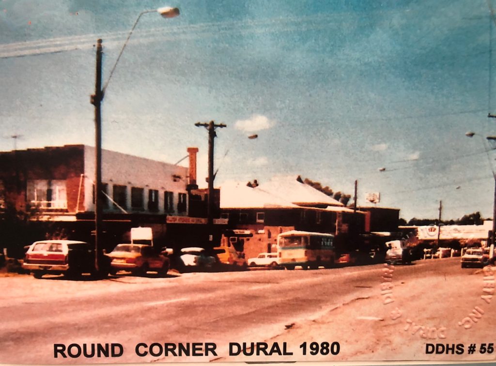
Middle Dural, however, retained its name, even though it was no longer the mid-point between Dural and Upper Dural.
In the 1890s, Dural and the Hills district was the chief supplier of citrus fruit for most of Australia. Poultry and vegetable farms also flourished. New Line Road, surveyed in 1829, remained a track until it was sealed in the 1960’s. When the shires of Baulkham Hills and Hornsby were established in 1906, Old Northern Road became the boundary line, which meant that Dural fell into both shires.
Present-day Dural still retains the strong sense of cooperation and mutual support that has characterised the community for many generations. Dural is a living example of a neighbourhood that continues to balance the needs of modern life with an affinity for the land that has defined its history over the last two centuries.
Information from the Dural Historical Society. Phone 02 96533053